


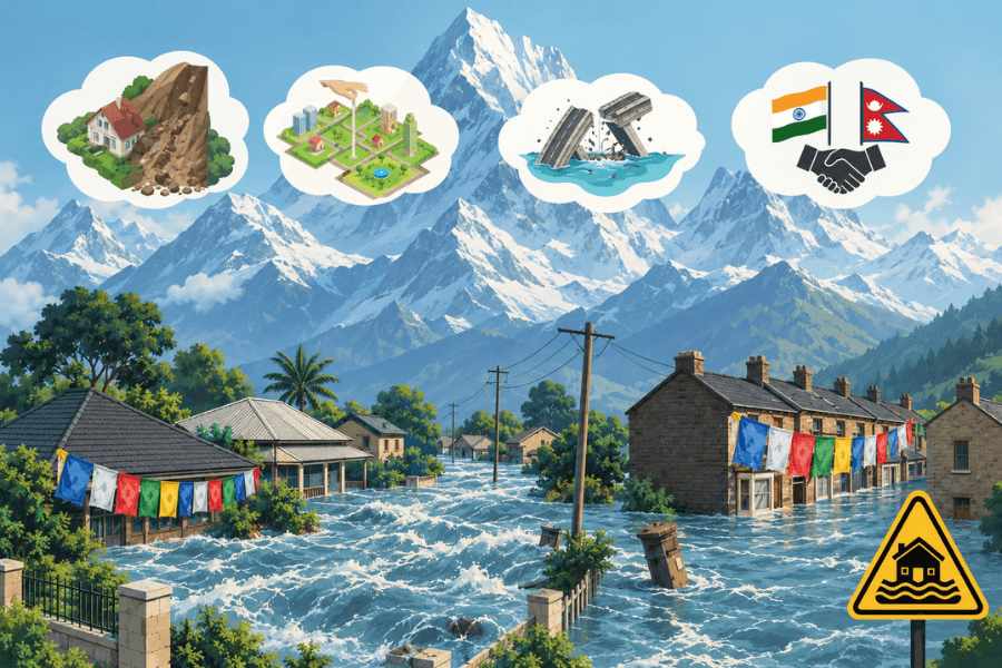
When an ice-rock avalanche struck the upper Bhote Koshi watershed near the Nepal-China border on 26 August 2026, the consequences extended far beyond the point of origin. The mass movement entrained loose sediment, generating a debris flow that travelled downstream through the Bhote Koshi-Trishuli river system. Roads, bridges, settlements and hydropower infrastructure were damaged. By 5 October, Nepal had recovered 1,455 bodies, while 5,285 people remained missing. The estimated recovery and reconstruction requirement reached US$4.77 billion, according to Reuters.
For India, the significance lies in how a single event can trigger successive hazards, damaging infrastructure and exposing communities far downstream. The 2021 Chamoli disaster, the 2023 South Lhonak glacial lake outburst flood and the 2025 events at Dharali and Chasoti exposed different vulnerabilities across the Indian Himalaya. Together, they raise a question about whether India's infrastructure planning, project appraisal and disaster preparedness adequately account for interacting hazards across river basins and connected infrastructure.
India's Existing Risk Framework
India already has several initiatives addressing Himalayan hazards. The government has approved a ₹150 crore National Glacial Lake Outburst Flood Risk Mitigation Project covering Arunachal Pradesh, Himachal Pradesh, Sikkim and Uttarakhand, and a ₹1,000 crore National Landslide Risk Mitigation Project across 15 states. The National Mission for Sustaining the Himalayan Ecosystem and existing scientific institutions provide a wider research and monitoring base.
Early-warning capabilities have also advanced. The National Disaster Management Authority's SACHET platform disseminates geotargeted, multilingual alerts through multiple channels. In May 2026, the government reported that the system was operational across all 36 states and Union Territories and had disseminated more than 134 billion SMS alerts in over 19 Indian languages. These figures establish the scale of alert dissemination, but not the lead time achieved or whether exposed populations can evacuate in time.
In September 2026, the Union Home Secretary reviewed preparedness for glacial lake outburst floods and snow avalanches with four Himalayan states and Jammu and Kashmir, emphasising monitoring, early warning, evacuation preparedness and the need to expedite mitigation measures. The policy challenge is to ensure that these capabilities translate into risk-informed infrastructure decisions and effective protective action.
Why Cascading Risk Changes Infrastructure Appraisal
Conventional risk assessments may examine a project's exposure to flooding, landslides or seismic activity. Himalayan hazards, however, can unfold in a chain, with consequences extending across roads, bridges, power generation and settlements, even when individual assets meet their site-specific engineering requirements. An upstream slope failure may generate a debris flow, obstruct a river or damage infrastructure, creating additional risks downstream.
The policy question is whether India's infrastructure appraisal and clearance processes adequately assess upstream hazards, downstream consequences and the possibility that failures in one part of a river basin could undermine other assets.
Scientific findings from Nepal reinforce this concern. An International Centre for Integrated Mountain Development (ICIMOD) assessment released on 13 October 2026 identified up to 40 centimetres of ground deformation at the August avalanche site between 7 July and 24 August. The disaster was not a conventional glacial lake outburst flood, underscoring the limitations of monitoring systems focused primarily on rainfall and river conditions. Although the precise triggering mechanisms remain under investigation, the findings demonstrate the value of examining slope instability alongside downstream exposure.
India should review existing environmental-clearance and project-appraisal requirements for infrastructure in high-risk Himalayan valleys, introducing standardised cascade-risk assessments where current provisions do not adequately address interacting hazards. These assessments should examine plausible hazard sequences, infrastructure interdependencies and downstream consequences over an asset's operating life. Their findings should inform siting, project design, clearance conditions and contingency planning, rather than remain confined to assessment documents.
Such requirements would have implications for infrastructure finance. A Coalition for Disaster Resilient Infrastructure study published in April 2026 identified gaps in policy, data, technical capacity and financing across India's road, rail and power sectors. Its cost-benefit tool estimates benefits of up to 12 dollars per dollar invested in resilience, although returns vary by project. Appraisal should therefore consider the additional cost of resilient design against potential losses from infrastructure damage, service disruption and reconstruction.
From Detection to Protective Action
Warning systems must also be evaluated against the hazards they are expected to detect and the lead times they provide. SACHET offers a substantial dissemination platform, but its effectiveness depends on observations being available, warning triggers being appropriate and authorities having sufficient time and capacity to act.
ICIMOD's Kathmandu 10 Action Points, issued on 25 September 2026, call for warning triggers suited to sudden-onset hazards, multi-hazard hotspot inventories and faster conversion of observations into actionable information.
India should assess the capacity of existing monitoring systems to identify unstable slopes, detect emerging hazards and generate usable warning lead times in high-risk catchments. Satellite observations, ground-based instruments and other monitoring systems can provide complementary information, although not every sudden-onset event can be anticipated. Where gaps exist, monitoring redundancy should be strengthened and protocols should specify the authorities responsible for interpreting warnings and initiating protective action.
District preparedness should be judged by warning coverage, evacuation drills, designated safe locations and arrangements for exposed workers and pilgrims. The test is whether people receive actionable warnings and can reach safety in time, not merely whether an alert has been issued.
From Shared Data to Joint Action
India already has bilateral flood-forecasting and river-management mechanisms with Nepal, alongside hydrometeorological observation and forecasting arrangements with Bhutan. The question is whether these arrangements adequately cover precursors to sudden-onset cascading hazards and enable timely protective action across borders.
India should work with Nepal, Bhutan and regional institutions to identify gaps in existing arrangements and develop protocols for sharing decision-ready information. These should clarify which authorities receive hazard information, how warnings are interpreted and communicated, and which downstream agencies are responsible for acting on them. The Kathmandu 10 Action Points propose a regional technical working group and shared data portal, but their operational implementation remains to be established.
Research funding should reinforce these efforts by connecting scientific work on slope stability, permafrost and cryosphere hazards to monitoring priorities and infrastructure appraisal.
India's challenge is no longer simply to expand scientific understanding of Himalayan hazards. It is to ensure that this knowledge influences where infrastructure is built, how it is designed and financed, and what authorities do when danger emerges. This requires evidence of implementation, clear institutional responsibilities and enforceable requirements where existing rules fall short. Without these connections, stronger monitoring and additional mitigation programmes may still leave communities and critical infrastructure exposed to cascading risks.