


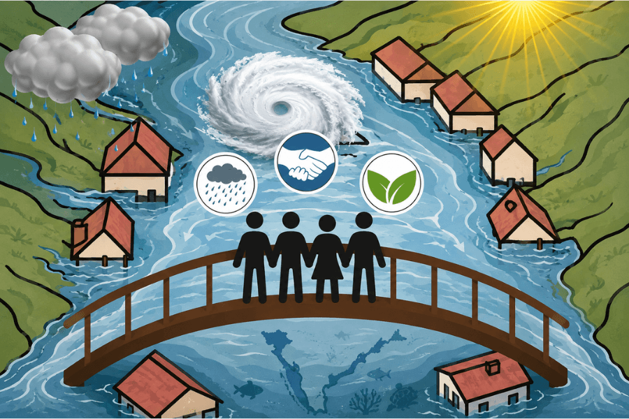
A glacial lake bursting in the eastern Himalaya sends its flood through Nepal or Bhutan, down the Ganga and Brahmaputra, into the Bangladeshi delta days later. Mountain melt becomes river flood, river flood becomes coastal inundation, and coastal flooding leaves behind salt that lingers in farmers’ fields long after the waters recede. Within a single week, a single hazard crosses several jurisdictions and changes form repeatedly. Disaster risk in the Bay of Bengal is inherently transboundary.
The people living along this arc have long understood that rivers, weather systems and coastlines operate as integrated systems. Yet adaptation policy continues to organise responses within national boundaries. Climate change is reshaping not only the geography of risk but also the scale at which it must be governed. As climate hazards increasingly unfold across shared river basins, coastlines and maritime systems, the institutions responsible for managing them remain organised largely within national boundaries.
Adaptation Has Outgrown National Borders
Climate impacts travel across borders through shared natural systems. In the Bay of Bengal, these shared systems create the region’s most immediate vulnerabilities. The Ganges-Brahmaputra-Meghna basin supports nearly 700 million people across multiple countries, while the Bay functions as a common maritime space where weather systems, river flows and cyclone warnings routinely cross national borders. Climate risks therefore propagate through a single interconnected system even as adaptation remains organised through separate national institutions.
Managing interconnected climate systems through nationally bounded institutions has become costly. Estimates suggest that non-cooperation across the Ganges-Brahmaputra-Meghna basin drains more than USD 14 billion from the regional economy every year. Behind that figure lie flooded harvests, disrupted fisheries, damaged infrastructure and communities rebuilding after successive disasters. Much of this loss is avoidable. Weather forecasting, hydrological modelling and early warning systems have advanced considerably. The region’s principal constraint is now institutional: the absence of the shared architecture, common standards and trust needed to use these capabilities seamlessly across borders.
The result is a widening mismatch between the regional geography of climate risk and the national geography of climate governance.
The Economics of Regional Resilience
Weather forecasting, hydrological observations, early warning systems and climate information increasingly function as regional public goods because their benefits extend well beyond the country that generates them. A river gauge installed upstream protects downstream communities regardless of where it is located. Cyclone forecasts become more accurate as countries contribute observations across a wider geographic area. The value of these systems increases through regional participation while the cost of sharing information remains relatively small.
Countries naturally invest where national benefits justify national costs. When the benefits of climate investments spill across borders, however, individual governments cannot capture the full benefits of their investment. The result is persistent regional underinvestment in systems whose benefits are shared.
Regional institutions help overcome this problem by enabling countries to pool costs while sharing benefits. Investments that are difficult to justify individually become economically viable collectively. Cooperation therefore strengthens resilience while making climate investment more economically efficient across the Bay of Bengal.
Existing Cooperation Shows What Is Possible
The Bay of Bengal is far from starting from scratch. Regional cooperation has steadily expanded through practical arrangements that reduce disaster risks across borders. The Regional Integrated Multi-Hazard Early Warning System (RIMES) supports multi-hazard forecasting across several Bay countries. ICIMOD has strengthened cooperation on glacial hazards in the Himalaya. India shares seasonal flood data with Bangladesh, while the emerging BIMSTEC Weather and Climate Centre and proposed Disaster Management Centre point towards deeper regional collaboration.
These initiatives demonstrate that technical cooperation is already politically feasible. Their success, however, also reveals their limitations. Most operate through individual projects, sector-specific arrangements or voluntary agreements, each addressing a particular function rather than adaptation as an integrated regional challenge. Information continues to move through separate mechanisms operating under different standards and institutional practices. As climate risks become more interconnected, the region requires a more durable framework capable of aligning national adaptation efforts around shared regional priorities.
Three developments make deeper cooperation increasingly feasible. Climate hazards are becoming more frequent and interconnected. Advances in forecasting, earth observation and hydrological technologies have increased the value of shared regional systems. At the same time, BIMSTEC’s Charter, which entered into force in 2024, provides an institutional foundation that did not previously exist.
ASEAN confronted a similar challenge through the ASEAN Agreement on Disaster Management and Emergency Response (AADMER), a legally binding framework that commits member states to monitor hazards, share risk information, maintain standby assets and coordinate disaster response through the AHA Centre. It demonstrates that legally grounded regional disaster governance is both politically feasible and operationally valuable among developing countries facing diverse climate risks. BIMSTEC has yet to translate its institutional foundations into an equivalent framework for climate adaptation and disaster governance.
Building Regional Adaptation Governance
Closing this institutional gap calls for a Bay of Bengal “shared-waters, shared-risk compact”. Rather than replacing national adaptation systems, the objective should be to connect them through a common regional architecture while preserving national ownership of planning and implementation.
The framework should rest on three complementary pillars: a scientific backbone anchored in the BIMSTEC Weather and Climate Centre in Noida together with national scientific agencies; a common regional platform for sharing climate information, risk assessments and early warnings across borders; and a standing BIMSTEC Climate and Disaster Council to connect national adaptation plans with regional priorities.
The Council would support regional climate risk assessments, coordinate investment in regional public goods, promote common technical standards and facilitate peer learning across National Adaptation Plans. National governments would remain fully responsible for domestic implementation while benefiting from stronger regional coordination where climate risks transcend national borders.
The Next Phase of Adaptation
The Bay of Bengal has become one of the fastest-warming and most hazard-exposed regions in the world. Its climate risks already transcend national borders, yet the institutions responsible for managing them remain largely confined within them. The central challenge of adaptation is therefore no longer simply building greater national resilience. It is closing the widening mismatch between the regional geography of climate risk and the national geography of climate governance.
Climate risks already operate across political boundaries. Adaptation institutions must now evolve to match that geography. Protection that reaches from the Himalayan crest to the last household in the delta demands institutions capable of operating across the same landscape of risk. Regional adaptation need not weaken national sovereignty. By strengthening the institutions countries share, it can strengthen every nation’s capacity to protect its own people.